Best Circular Walks in Northumberland: Coast, Wall and Hills
Proper loops that start and end at the car, from the Craster coast to the Wall and the quiet Coquetdale hills. Distances, parking, loos and the honest catch for each.

Proper loops that start and end at the car, from the Craster coast to the Wall and the quiet Coquetdale hills. Distances, parking, loos and the honest catch for each.
The best circular walks in Northumberland are the National Trust's 7.7 mile Craster to Low Newton loop past Dunstanburgh Castle, the 4 mile Steel Rigg, Sycamore Gap and Crag Lough walk on Hadrian's Wall, and the 4 mile Simonside Ridge Walk near Rothbury, which has free parking. For something quieter, try Harbottle Crags and the Drake Stone in upper Coquetdale.
Checked 1 November 2026. Distances, parking charges and opening times change, so the organiser's link is the one to trust.
These are the best circular walks in Northumberland for grown-ups who want a proper loop rather than a there-and-back, from the coast at Craster to the crags of Hadrian's Wall and the quiet hills above Coquetdale. Every one starts and finishes at a car park, so nobody has to do the maths on a bus timetable while their knees complain. Distances are the ones the owners publish (the National Trust, Northumberland National Park, Forestry England, Northumberland Wildlife Trust and the county council), checked this morning.
The famous loops are mixed with quieter ones that rarely turn up, and I have marked those. Two warnings. The clocks have gone back, so a 3 hour walk wants a morning start. And several routes cross farmland with cattle, where the cows have opinions and you are not consulted.
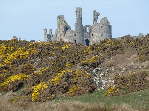
The big one, and the one I would pick if I had a single dry day on the coast. The National Trust route is a 7.7 mile circular from Craster Quarry car park, about 3 hours, out past Dunstanburgh Castle, round the great sweep of Embleton Bay to Low Newton, and back on a higher level track to Craster. The Trust rates it challenging, which is fair: the ground is rugged and uneven, with rocky sections, natural steps, soft dunes and a short drop onto Embleton beach.
You get the castle twice, once getting bigger and once getting smaller, which is efficient. Low Newton sits roughly at halfway, a little square of cottages round a green with the Ship Inn, so there is a natural place to stop and refuel (the walking is the excuse, the sandwich is the point). There may be cows in the fields near the start, and the Trust asks for dogs on a short lead near livestock and ground nesting birds.
Short on time or daylight? The National Trust's Dunstanburgh Castle ghost walk is a 3 mile circular from Craster, about an hour, out to the castle and back a different way. The Trust warns that you may want to take your shoes off to cross Embleton Burn, which is the most Northumberland sentence ever written about a short walk.
The tiddler of this list, and I have put it in on purpose. It is a 1 mile walk, 30 to 40 minutes by the National Trust's reckoning, from the public car park above Low Newton, past the bird hides at Newton Pool and back by the shore. It is the sort of loop you do before lunch to earn the lunch.
It is worth the detour because most people heading for Embleton Bay never stop here, and in winter the pool and the bay are full of birds. There is a steep hill at the start, uneven grassy paths and steps down to the beach, so it is easy rather than flat. Dogs on leads near the hide, please, the ducks are trying to concentrate.

The town walk that is also a circular walk. English Heritage says you can walk a complete circuit of Berwick's ramparts, the Elizabethan town defences, and it is free and open daily. You get the river, the three bridges, the sea and the rooftops, plus a fair bit of history on the way, and you are never more than a few steps from a cafe, which on a raw November day is a comfort.
The serious bit: English Heritage warns that sections of the ramparts include steep, unguarded drops, so keep well back from the edges, especially in the wet or the dark, and hold on to anyone small or excitable. It is a good one for the day the hills are in cloud.

St Oswald's Way publishes a 3 mile walk on Holy Island, with an easy access version of up to 2 miles, taking in the priory, the castle and the shore. Most people stick to the village. The rest of the island is quiet, flat and full of birds, and in winter the Lindisfarne flats are where the pale bellied brent geese spend the season.
The causeway floods twice a day, and the tide comes in fast. Before you go, check the council's safe crossing times, never cross on a rising tide, and give yourself plenty of spare time for the walk so you are not racing the sea back to the car. The council's page says its times do not apply to the walking route over the sands, so do not treat them as a guide for that.
Holy Island crossing times How to read the council's safe crossing times before you set off. →
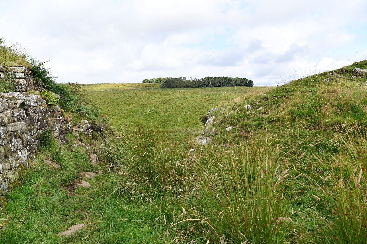
The most famous loop on the Wall, and it is famous for a reason. The National Park's route is 4 miles, about 2 to 2.5 hours, from Steel Rigg car park along the crags past Sycamore Gap and Crag Lough and back to the car park. It is graded moderate, with short, sharp climbs and some mud, and the up and down along the Whin Sill does more damage to the legs than the distance suggests.
The tree, of course, is gone. The National Trust says the stump remains and may regrow, and in September 2026 it reported a thick ring of new shoots two to three feet tall. There is a barrier round it, so take your photos from a distance and do not climb the fence. The National Park runs a guided New Year's Day walk to Sycamore Gap from The Sill, a 5 mile circular, booking required, if you fancy starting 2027 with a hill.
For a full day, the National Trust's 8 mile circular from Housesteads takes in the best of the Wall, about 3 hours of walking, out along the crags to Steel Rigg and back. It is moderate, with steep stone pitched climbs, and it can be muddy. Start early in November, because 3 hours of walking plus a sandwich plus an argument about which way the Wall goes is more like 4.
The Trust also lists a shorter 5 mile Sycamore Gap circular from the same visitor centre. Housesteads Fort itself is run by English Heritage and is open, though the visitor centre and cafe are closed while changes are made, so pack the flask.
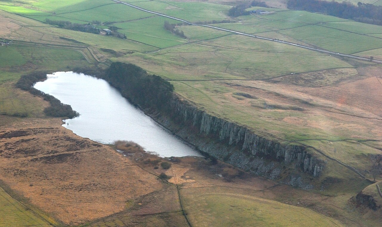
The National Park's own pick for a winter walk: a 3.5 mile circular from Cawfields Quarry car park, taking in Milecastle 42 and a fine stretch of the Wall. The quarry lake makes a dramatic start (no swimming, the National Park is firm about that), and the loos are some of the best on the Wall, including a Changing Places toilet.
It is a good choice when Steel Rigg is full, which on a sunny weekend it often is by mid morning. Cawfields is also a Dark Sky Discovery Site, so a late finish has its own reward if you have a torch and a lot of layers.
South of the Wall, and much more sheltered, the National Trust's woodland gorge on the River Allen is the place to go when the crags are blowing a hoolie. The Trust's Morralee Tarn walk is 2.5 miles, 60 to 90 minutes, through ancient woodland up to a small tarn and back to the car park, mostly level with some short, sharp climbs.
It rarely appears in the lists of Wall walks, which is part of its charm: on a grey day you may have the whole gorge to yourself and a heron. If you want more, the paths carry on south towards Staward, but the Trust does not publish that route, so take a map. Sat navs struggle here, so read the directions on the Trust page before you leave.
The hill that watches over Rothbury, and a ridge that was shortlisted for the Ramblers' Britain's Favourite Path in 2025. Forestry England's Simonside Ridge Walk is 4 miles, graded moderate, following red waymarkers through the forest to the top of Simonside Crags, at 430 m. On a clear day the view runs from the Cheviots to the sea, which is the kind of payoff that makes you forgive the climb.
There is also a 1 mile short loop on green markers through the pine and larch, if the cloud is down or the legs are not up to it. Parking is free, which round here deserves a small round of applause. Lordenshaws, with its Iron Age hillfort and carved rocks, is just along the road if you want to add a second outing.
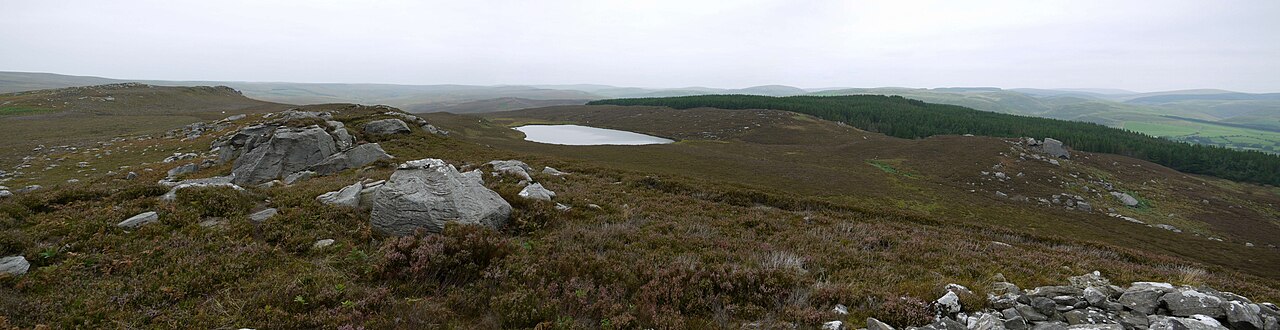
A Northumberland Wildlife Trust reserve of 158 hectares above Harbottle in upper Coquetdale, open 24 hours, every day of the year, with no entry fee. A public footpath runs from the Forestry England car park up through the reserve towards the Drake Stone, a huge boulder with a pile of legends attached, and you can come back through West Wood for a round trip to the car.
This is the quiet one. You get moorland, a lough with goosander and little grebe, and big views, and you will not be queueing. The path is steep but reasonably even to the second gate, then rough, rocky and narrow on the moor. There is a Ministry of Defence range beyond the reserve: the Trust says the army's red flag by the gate does not apply to the reserve, but never pass the MOD signs at the boundary. The National Park runs a 5 mile guided Boxing Day walk here, to the Drake Stone and down to Harbottle Castle, booking required.
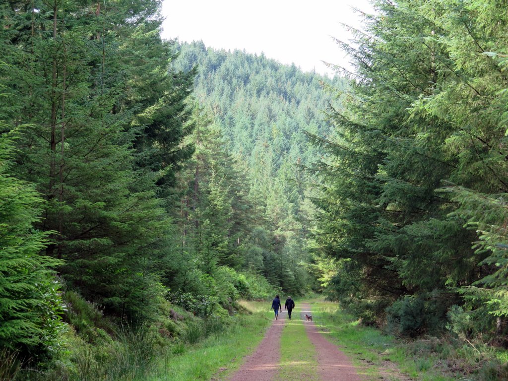
A Forestry England wood off the A697 between Alnwick and Rothbury, and a walk most visitors drive straight past. The Castle Hill walk is 5 miles on red waymarkers from the main car park, and Forestry England grades it hard, with a long ascent, so this is one for a day when you want to feel you have earned your tea. Forestry England's page does not say outright that it is a loop, so follow the markers rather than your instincts (mine have never been reliable).
There is a 1 mile Crag Top walk on green markers for a shorter outing with views of the Cheviots. Storm Arwen hit this wood hard in 2021. Forestry England's dated notice says the forest has fully reopened, though an older banner about storm closures is still on the page, so look at the signs on the day.
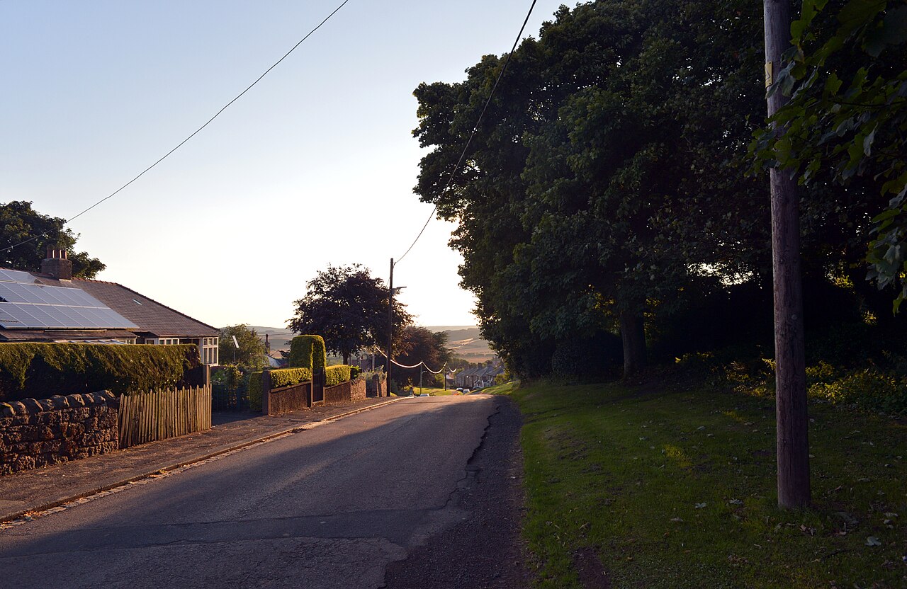
Forestry England's woodland park on the edge of Wooler, where St Cuthbert's Way heads up into the Cheviots, with an easy going trail and a short wheelchair friendly easy access trail with a handrail. Forestry England does not publish the trail lengths online and points you to the information board in the car park, which is old school and slightly charming.
It is a fine base for something bigger. The National Park runs a guided North Cheviot Circuit from here on 13 December, an 8.5 mile strenuous moorland round via Hell Path, Carey Burn and Broadstruther, back on St Cuthbert's Way, booking required. Further west, the College Valley has a free car park at Hethpool, but you cannot drive beyond it without a permit bought online, and the hillfort walks there need sturdy boots and a good level of fitness.
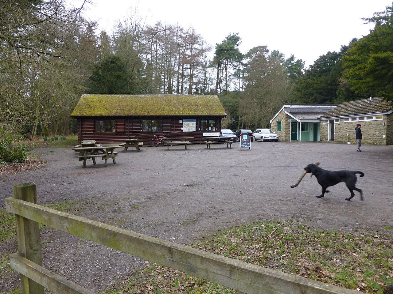
The flattest walk in this list, and a proper loop. Northumberland County Council's lakeside path goes all the way round Bolam Lake, about 1 mile, and it is fully accessible for wheelchairs and pushchairs. There is woodland, a lot of ducks with no sense of personal space, and a cafe by the Boathouse Wood car park.
It is not a big adventure, but it is a reliable one, and it is a short drive from Tyneside. Do the loop twice and you have done 2 miles and earned a scone.
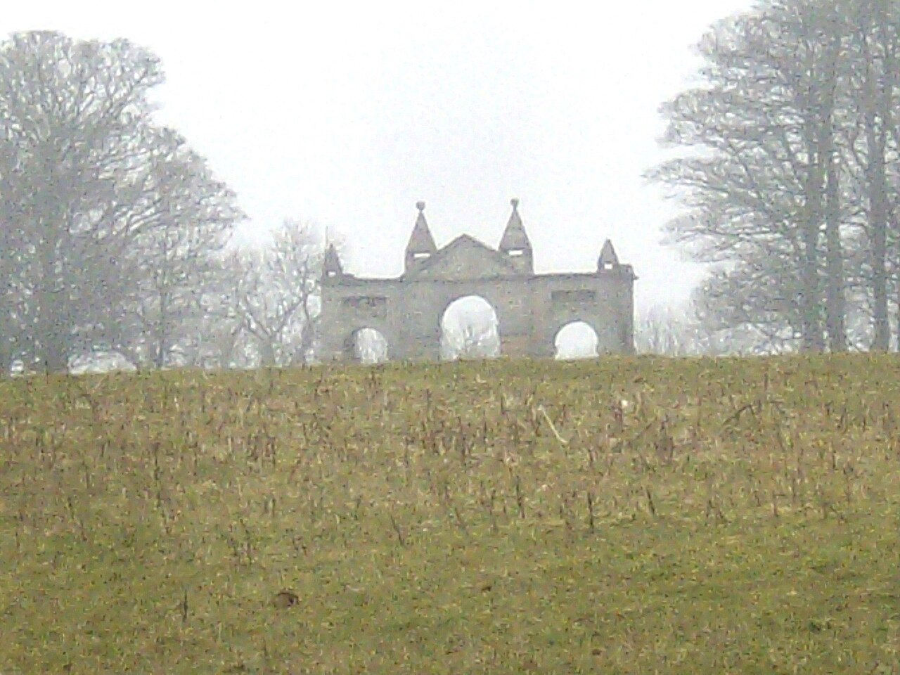
If you would rather someone else did the navigating, the National Trust runs a guided Cambo Circular from Wallington on Tuesday 10 November 2026, starting at 11.15am. It is a 4.5 mile walk from the Courtyard across farmland to Cambo village and back through the gardens, with climbs, stiles and road crossings, and the Trust says it suits confident walkers.
It is included with normal admission and free for members, but you need to book. Dogs on leads are welcome. It is a nice way to see the estate beyond the bit everyone already knows.
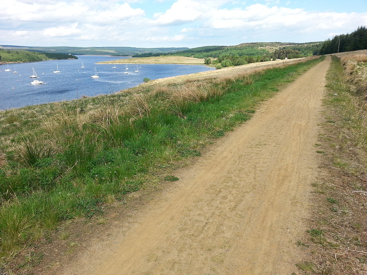
The biggest loop in Northumberland: the Lakeside Way runs 26 miles round the shore of Kielder Water, a multi use trail shared with cyclists, with easy gradients and good signs. Access on foot is allowed 24 hours a day. Walking all of it in one go is a long, long day, so most people do a section and turn back, or split it over a weekend.
Plan the north shore carefully. Visit Kielder says there are no services between Kielder Village and Hawkhope, about 11 miles. And from Monday 2 to Friday 13 November 2026, Kielder Dam and Hawkhope car park are closed to vehicles, though the footpath over the dam and the Hawkhope toilets stay open.
A few of the most searched walks are not loops at all, which is why they are not in the main list. Seahouses to Bamburgh along the beach is roughly 3 miles one way, mostly on sand, according to Visit Northumberland, and the usual trick is to catch the X18 bus back. Alnmouth and Warkworth are close, but there is no bridge or ford at the mouth of the Aln that I could find, so the beach walk from Warkworth does not reach Alnmouth village, and the Coast Path goes inland to cross the river. North of Alnmouth the path is on the beach and can be cut off at the top of the highest tides, so check the tide before you set off.
Beadnell to Seahouses is part of the Northumberland Coast Path, but the official stage pages do not give a separate distance for it, so I will not guess one. Look at the Coast Path map before you go.
A head torch, even if you plan to be back by three. Proper boots, because every one of these routes has a muddy patch with ambitions. A flask, as most of these car parks have no cafe. And a map, paper or downloaded, because signal on the Wall and in the Cheviots comes and goes like a cat.
Check the forecast for the hills, not the town, which can be several degrees kinder. Tell someone where you are going. Turning back when the weather turns is not failure, it is the plan working.
See what's on in The Northumbrian AlmanacFree, two short emails a week, and you choose which. Read the latest one first.
No spam, no ads. Unsubscribe from any email with one click. Privacy
For the coast, the National Trust's 7.7 mile Craster to Low Newton circular past Dunstanburgh Castle. For Hadrian's Wall, the National Park's 4 mile Steel Rigg, Sycamore Gap and Crag Lough walk, which takes about 2 to 2.5 hours.
Yes. Visit Northumberland says the walk is roughly 3 miles one way, mostly on sand. Most people catch the X18 bus back.
Yes, but not straight along the beach into Alnmouth village, because there is no bridge or ford at the mouth of the Aln. The Northumberland Coast Path goes inland to cross the river, and the beach north of Alnmouth can be cut off at the top of the highest tides.
Yes, it is part of the Northumberland Coast Path between Craster and Seahouses. The official stage page does not give a separate distance, so check the Coast Path map before you go.
Yes. The Lakeside Way runs 26 miles round the shore and access on foot is allowed 24 hours a day. There are no services on the north shore between Kielder Village and Hawkhope, about 11 miles.
Craster and Embleton Bay for the coast, Steel Rigg or Housesteads for Hadrian's Wall, and Simonside or Harbottle Crags for the hills. Bolam Lake has a flat 1 mile path that is accessible for wheelchairs and pushchairs.
Yes, at several. Forestry England car parks at Simonside, Thrunton Wood and Wooler Common are free, as is the College Valley car park at Hethpool. The Hadrian's Wall car parks charge, with £5 for up to 3 hours at Steel Rigg.
Facts checked against 25 pages on Sunday 1 November 2026. Opening times and prices change, so confirm with the venue.